
Walking Paths
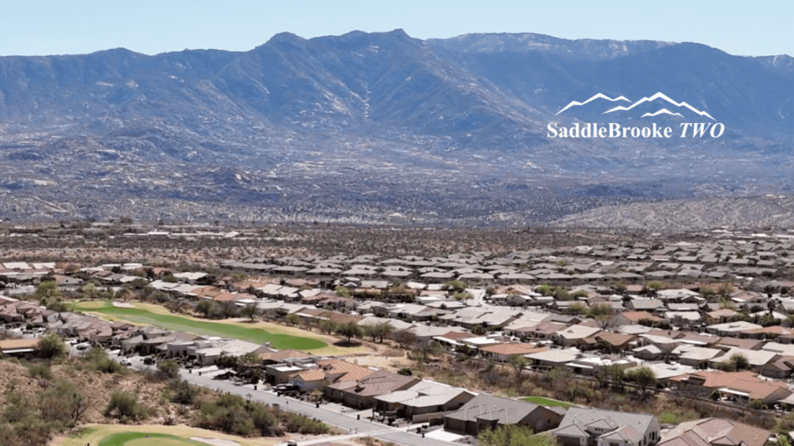
Discover the beauty of SaddleBrooke at your own pace along our thoughtfully connected network of 22 different walking paths. Winding through the breathtaking Sonoran Desert, our trails offer something for everyone, from smooth paved routes and natural gravel paths to scenic golf cart paths that link the community.Our interactive map makes it easy to explore and plan your route, clearly outlining each trail location and distance so you can choose the perfect walk based on your interests, time and comfort level.
Golf cart paths are available for walking during designated hours to ensure safety around golf course play, giving you even more opportunities to enjoy the landscape.
GOLF CART PATH WALKING HOURS
Golf starting times are now at 7:00 am, which means walking hours in the mornings will now end at 7:00 am. Evening Hours are currently staying at 5:00 pm, but will move to 6:00 pm on May 1.
How to View All Walking Paths
- Click the “View larger map” icon (⛶) in the top right corner of the map
- This will open the full map in a new window
- In the left panel, you’ll see the complete list of all 22 walking paths
- Click on any trail name to highlight it and see details on the map
Whether you're seeking a peaceful stroll, a refreshing workout, or a chance to take in the desert’s stunning views and wildlife, adventure is always just steps away.
For those who prefer a printed guide of select areas a downloadable PDF of walking paths near our facilities is available below.
To view satellite image of the map on Google Earth Click Here.
MountainView Area
MountainView Area- E. SaddleBrooke Blvd to S. Lago Del Oro PkwyA - MountainView Golf Course – Time Restricted (Times are posted at the golf course)
Golf Cart Path
B - MountainView Blvd – Goes from E. SaddleBrooke Blvd to S. Lago Del Oro
Gravel Path
C - SaddleBrooke Blvd – Goes from S. MountainView Blvd to S. Ridgeview Blvd
Gravel and Poured
MountainView Area Walking Paths Download Pdf
DesertView Area
DesertView Area – Paths end at Edwin Road. These walking paths are poured sidewalks.
A – Clubhouse Dr Starts at S. MountainView Blvd and S. Clubhouse Dr
B – Winding Trail The length of S. Winding Trail Dr
C- Northwood Dr Goes from S. Clubhouse Dr to S. Winding Trail Dr
DesertView Area Walking Paths Download Pdf
Preserve Area
A – The Preserve Golf Course – Time Restricted (Times are posted at the golf course) Golf Cart Path
B – The Preserve – S. Ocotillo Canyon Dr to E. Peregrine Pl
Sidewalks
C – The Preserve – S. Palisade Pl to S. Overlook Dr
Preserve Area Walking Paths Download Pdf
